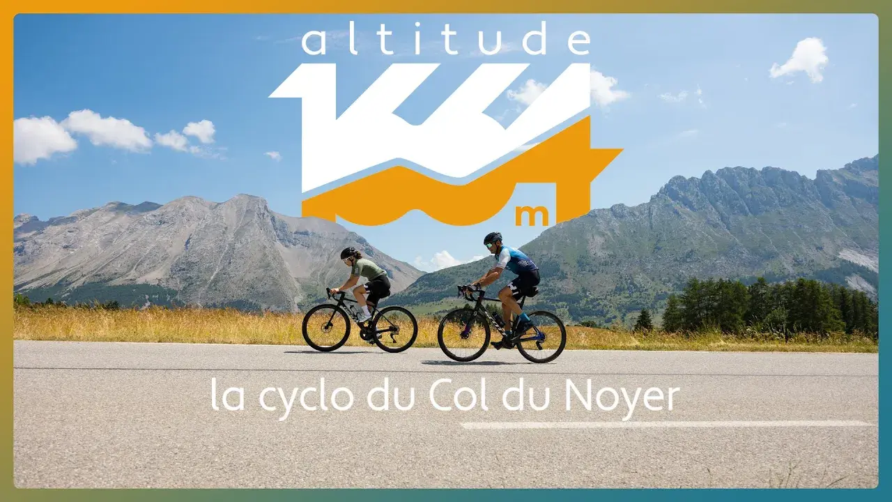
Sunday 28 june at 08:00

Altitude 1664 - Cyclosportive race and tour

  • Sports and leisure
  • Competitive sport
  • Cycle sports
  • Cycling
  • Cycle tourism
Plan d'eau de Saint Bonnet en Champsaur, 05500 Saint-Bonnet-en-Champsaur

Description

Between Dévoluy, Matheysine and Champsaur, set off as you please for a cyclosportive race or hike. The 95km “Altitude1664” will take you through both massifs, along secret back roads and over the vast panoramic Col du Noyer.
Registration opens in spring. Stay tuned! The route is the same for both the race and the hike. It is 95 km long with 2,200 m of elevation gain. The start is at the Saint Bonnet en Champsaur lake, with the finish line at the same location. The hike is open to minors, who must have parental permission. Electric bikes are only allowed on the hike.

Included

Included
- refreshments along the route and at the finish - liability insurance

Documentation

Opening times

On 28 June 2026
  • 08:00
Bib numbers available from 7am.

Medias

altitude 1664
Missing video caption

Location

Altitude 1664 - Cyclosportive race and tour
Plan d'eau de Saint Bonnet en Champsaur, 05500 Saint-Bonnet-en-Champsaur

Spoken languages

Spoken languages
  • English
  • French

Environment

Environment
  • Mountain location
Updated on 15 June 2026 at 09:19
by Office de Tourisme du Dévoluy
(Offer identifier : 7245904)
Report mistake
Filter search
Page types
  • All
  • Articles
  • Agenda
  • Lists